Success Stories
Portus

Client
Portus
Services
DATA
Industry
Public Administration
Context
The PORTUS project, developed for the Physical Environment Area (Oceanography and Meteorology) of Puertos del Estado, aimed to provide an advanced graphical interface for the visualization and consultation of oceanographic and meteorological data. Puertos del Estado manages an extensive network of weather stations and buoys that collect essential data on waves, swells, currents, and other maritime variables.
The PORTUS platform, accessible at https://portus.puertos.es, emerged as a comprehensive solution for public dissemination of this data, offering a user-enriched experience with georeferencing capabilities and advanced search functionality.


Challenge
The development of PORTUS faced several significant challenges:
Accessible and efficient user interface
It was crucial to design an intuitive graphical interface that would allow users to easily and quickly query large amounts of complex data about sea conditions and coastal phenomena.
Integration and visualization of real-time data
The platform had to handle and display real-time data from multiple sources, including buoys, weather stations, and tide gauges, with high precision and constant updates.
Organization and presentation of historical data
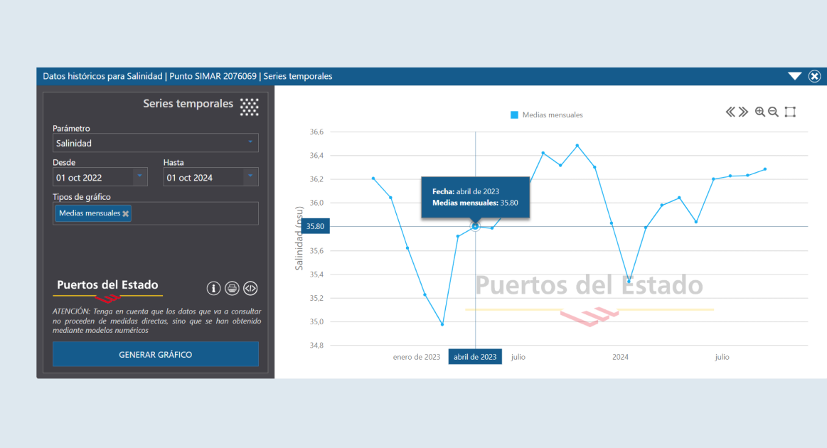
The platform needed to present historical data in a structured manner, enabling users to access detailed statistical and climatic reports, as well as data from simulations and predictive models.
Georeferencing and map visualization
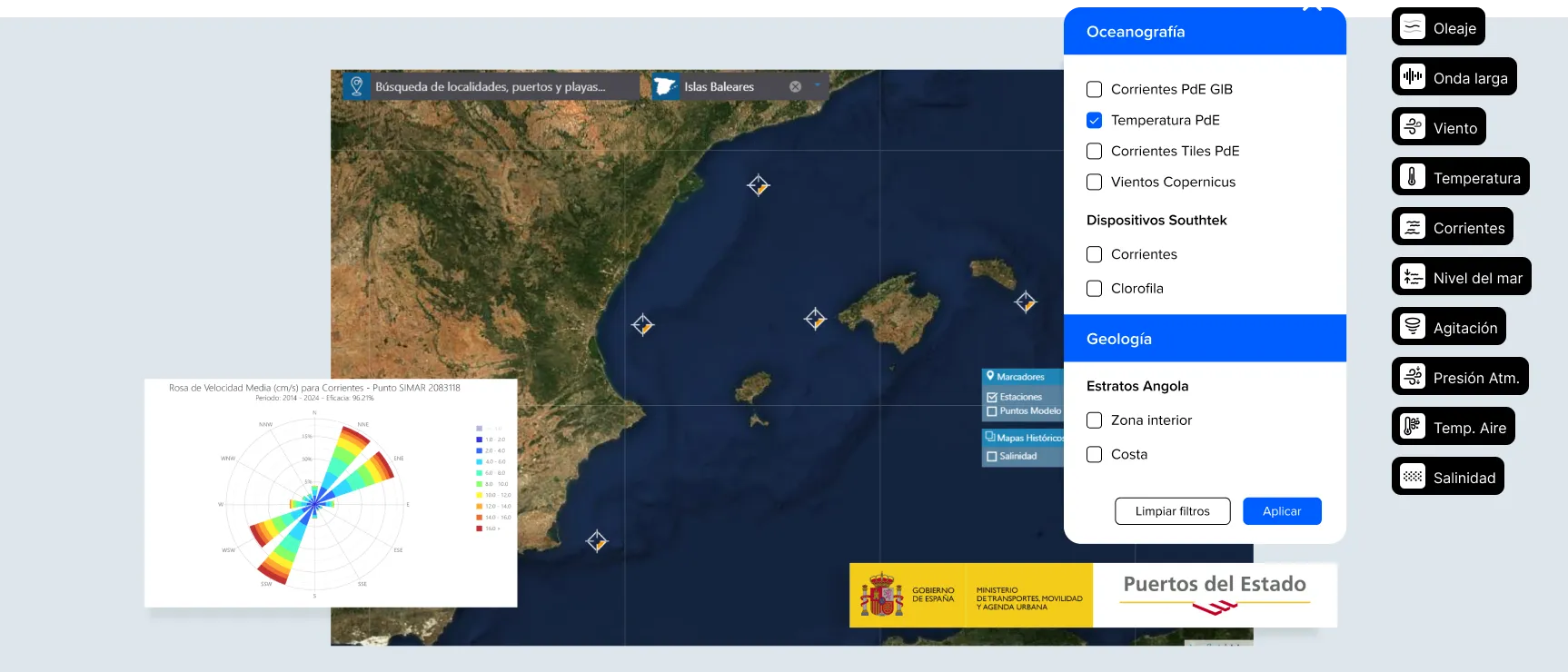
Incorporating georeferencing into the platform was essential to enable users to view data over satellite images and interactive cartographic maps.
Solution
To address these challenges, SATEC implemented a series of advanced technological solutions in the PORTUS platform:
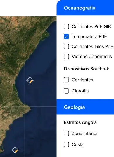
The platform was designed with interactive and simple menus that facilitate navigation and information querying, enhancing the user experience.

Results
The implementation of PORTUS has generated remarkable positive results:
Improved information accessibility
The platform has facilitated public consultation of oceanographic and meteorological data, providing an accessible and efficient tool for disseminating critical information about sea conditions.
Optimization of data visualization and analysis
The intuitive graphical interface and georeferencing capabilities have significantly improved how users interact with the information, enabling clearer and more useful data visualization.
Successful integration of real-time data and predictions
The ability to display real-time data and highly accurate predictions has improved users' ability to make informed decisions and better manage activities related to the maritime environment.
Generation of detailed and updated reports
PORTUS has facilitated the creation of detailed climatic and statistical reports, regularly updated to reflect the latest data and analyses, contributing to a better understanding of coastal and maritime phenomena.
In summary, PORTUS, developed by SATEC, has successfully established a robust and efficient platform for the visualization and consultation of oceanographic and meteorological data, enhancing information accessibility and usability for society and professionals in the sector.
